Correct the GPS line
Move, add or remove points. Smooth a shaky section or simplify a dense track, with a preview and undo before you save.
 Rekordis
 is an open-source route editor. Upload a ride from your GPS app, adjust the track, mark useful stops and share a map that opens on any phone.
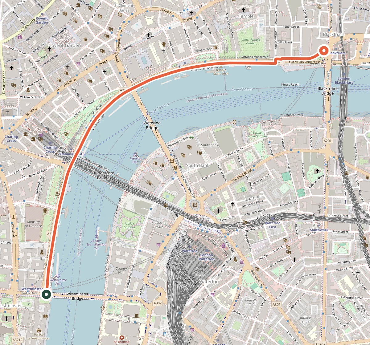
Westminster → Blackfriars
2.1 kmA cycling example on Victoria Embankment, following the mapped cycleway.
View on OpenStreetMapA daily commute, a weekend bike ride or a scooter trip across town. Keep the track and your own notes together.
Move, add or remove points. Smooth a shaky section or simplify a dense track, with a preview and undo before you save.
Add a note at a bike rack, café or charging stop. Select a stretch of the route to note rough paving or a difficult junction, and give it a color.
Hide areas around the start and finish, check the preview, then create a link. You can turn that link off later.
Favorite a shared route or save your own editable copy. A saved copy stays in your account if the original owner removes theirs.
Add a YouTube video and link points or sections to moments in the ride. Click a place to jump to its video time, or let the map follow along as you watch.
Explore how Rekordis works, report an issue or contribute an improvement. The project’s source code is public.
View the source on GitHubExport your ride from Bike Tracker Rekordis or another recording app, then upload the file to Rekordis. You can download your edited route in these formats too.
A common export from ride-recording apps and GPS devices. Open the track and review it on the map.
Import line paths saved in KML, including paths exported from Google Earth.
Open LineString and MultiLineString geometry from mapping tools.
Upload rows with latitude and longitude columns. Optional columns include timestamp, altitude_m, speed_m_s and segment.
Up to 25 MB and 200,000 points per upload.
Yes. Add points on the map and edit the line yourself. Rekordis does not automatically snap to roads, calculate bike-safe routes or provide turn-by-turn navigation.
Yes. You can store and edit recorded tracks for bikes, e-bikes, scooters and other lightweight transport. Route notes are added by users; the map does not check vehicle access or road conditions. The London preview is a cycling example.
They can open and download a route you share by link without signing in. Saving favorites or an independent copy requires an account.
Your routes and ride notes, saved in your account.